 |
On to GurnardIsle of Wight |
Old postcards are sometimes poorly produced and grainy, I've done my best to scan them.
Dates are from the card or my estimate (where possible). The maker of the card is shown in brackets (where available).
All pictures on this page are from my own collection, but are not my copyright. Copy If you wish, but if you repost or reuse them would you please out of courtesy let me know.
 |
 |
|
Looking along Queen Road from the foot of Egypt Hill, Holmwood House was on the right. (Photochrome.) |
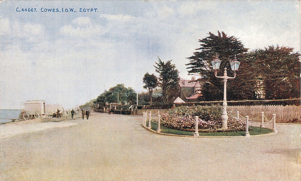
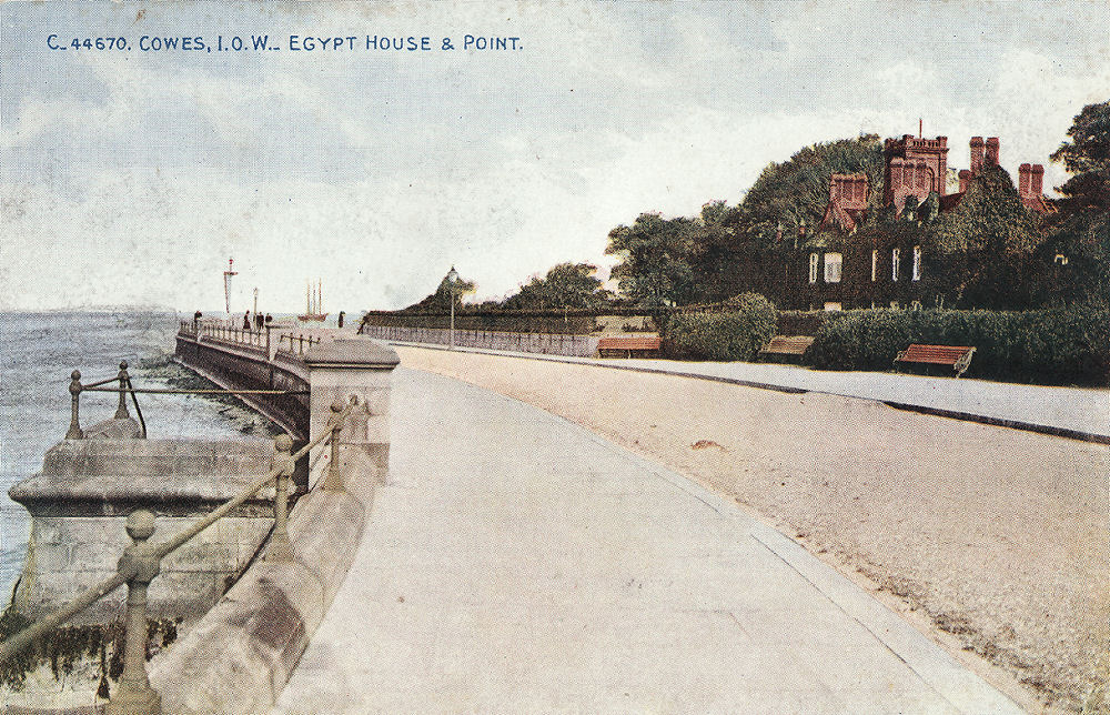
Looking east along the Esplanade, the lighthouse just visible on the left it at Egypt Point, the northernmost point of the Island. On the right is Egypt House, once home of the Baring family. (Photochrome.) |
|
|
|
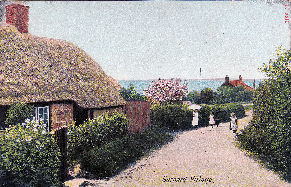
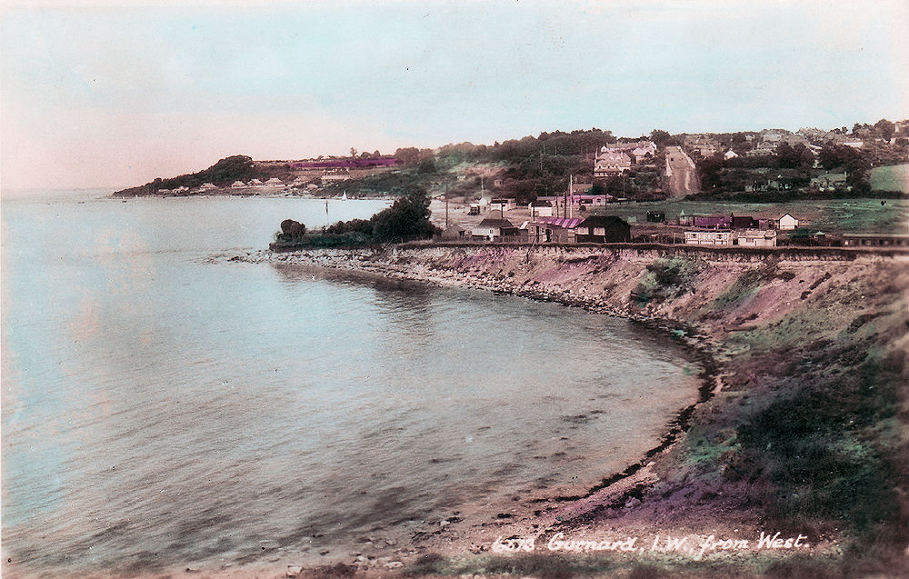
Gurnard, a small village to the west of Cowes, the card is undated but was probably taken during the first decade of the last century. (Mary Jones) |
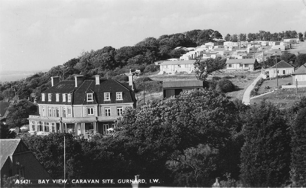
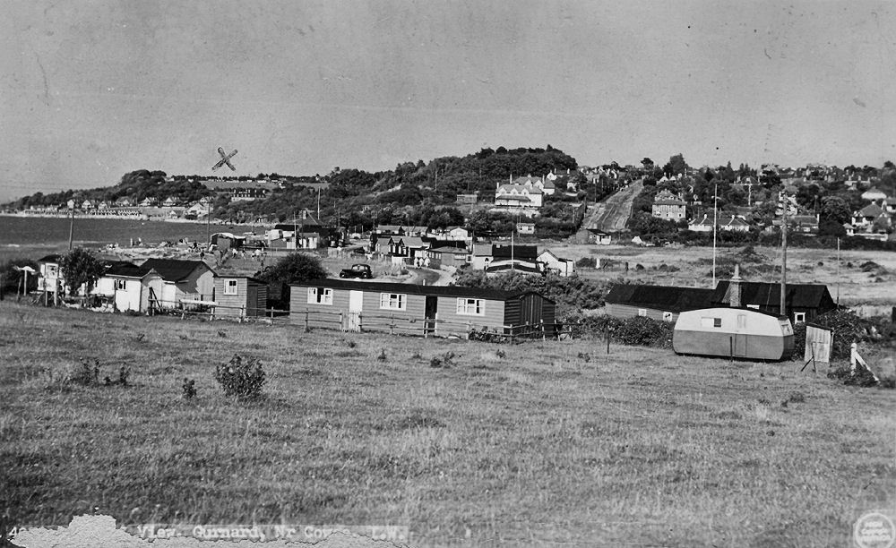
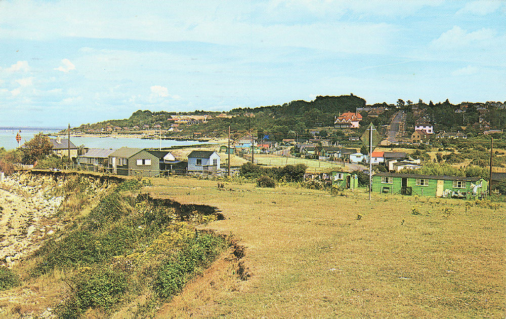
The Woodvale and Bay View Caravan site (now redeveloped), 1961. (Valentine) |
 |
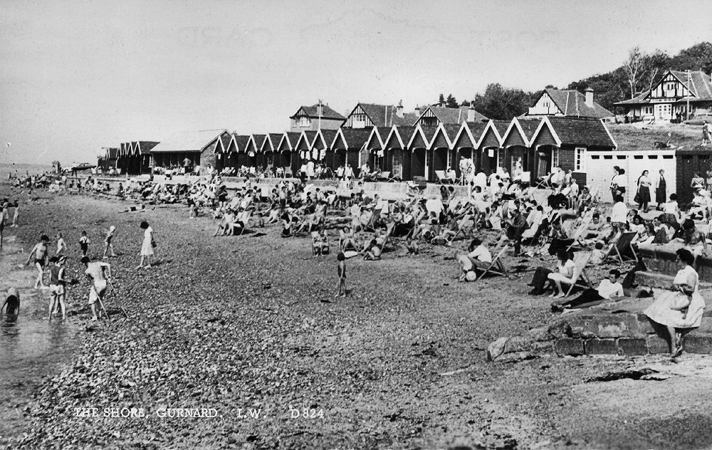 |
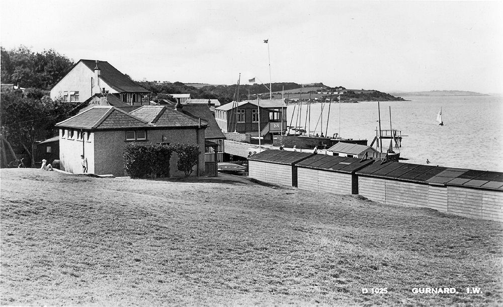
| Looking over Gurnard Green towards Gurnard Sailing Club (with flag). (Dean) | The shore at Gurnard, 1950's. (Dean) |
 |
 |
|
A more recent card, showing the view over Gurnard Marsh looking west. (Dean) |
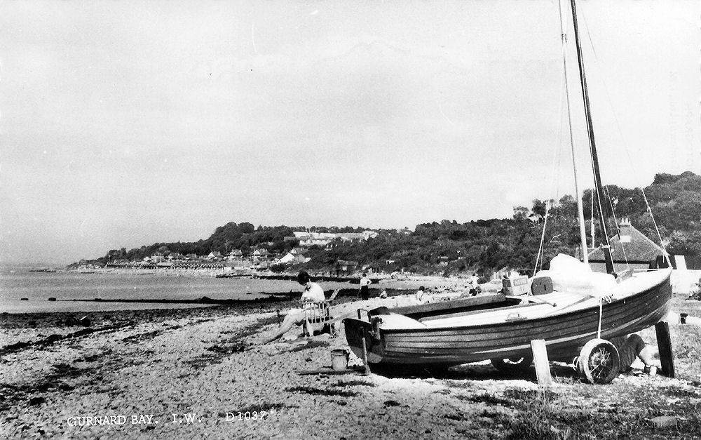
Gurnard beach, off the marsh, 1950's. (Dean) |
 |
 |
|
An undated view across Gurnard Marsh, looking east. (Nigh) |
Gurnard looking west across the Marsh about 1930. (Sweetman) |
 |
|
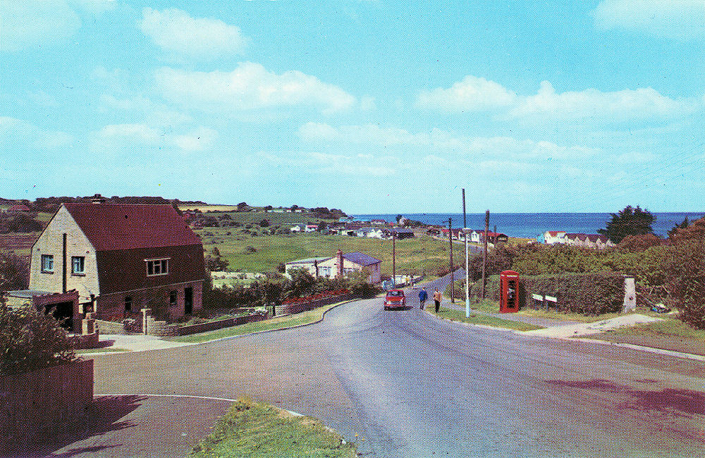
| A more recent view, probably from the 1960's. (Nigh) | |
Continuing west we reach Thorness Bay.
|
|
|
|
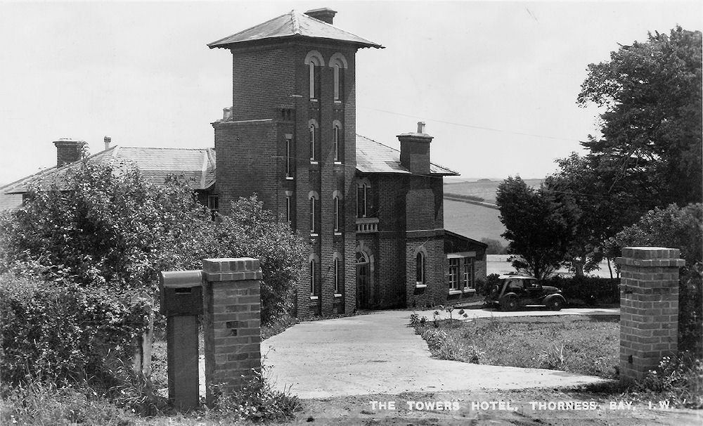
The entrance to the Towers Hotel, 1957. (Dean) |
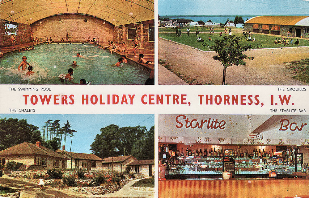
A multiview card of the Towers Holiday Centre, probably from the 1970's. (Nigh) |